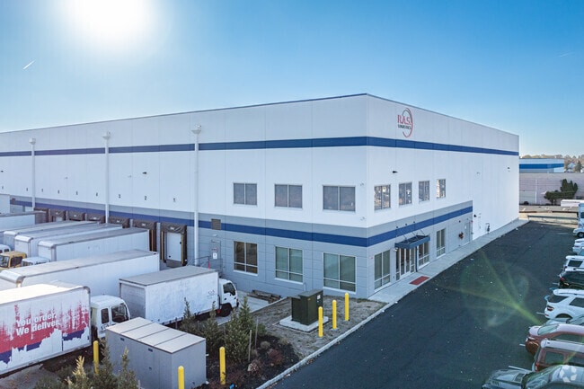
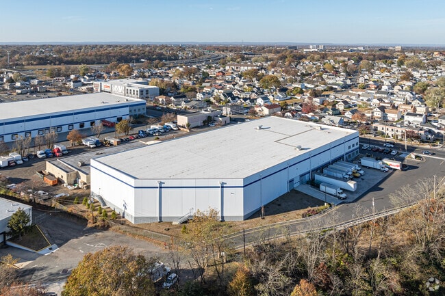
Property Record
51 New Brunswick Ave, Perth Amboy, NJ 08861

NEARBY LISTINGS FOR SALE OR LEASE
Property Detail
51 New Brunswick Ave
New York-Jersey City-White Plains, NY-NJ
2.57 ACRES
25-00020-0000-00001-014
Middlesex
Vacantlandnec
New Jersey
X
1.14
34023C0068F
2.57 AC
2024
Perth Amboy/GSP
2025
Northern New Jersey
003300
DEMOGRAPHICS near 51 New Brunswick Ave
1 Mile
3 Mile
5 Mile
2024 Total Population
19,755
119,286
295,059
2029 Population
19,156
117,125
291,245
Pop Growth 2024-2029
(3.03%)
(1.81%)
(1.29%)
Average Age
39
39
40
2024 Total Households
6,588
41,482
103,943
HH Growth 2024-2029
(2.94%)
(1.72%)
(1.30%)
Median Household Inc
$64,620
$78,027
$94,792
Avg Household Size
2.90
2.80
2.80
2024 Avg HH Vehicles
2.00
2.00
2.00
Median Home Value
$306,348
$349,780
$403,827
Median Year Built
1957
1961
1968
Nearby Places
Map Layers
Map Styles
 Street
 Aerial
- Restaurants
- Banks
- Shops
- Fitness
- Groceries
PUBLIC TRANSPORTATION
COMMUTER RAIL
Perth Amboy (North Jersey Coast Line - NJ Transit Commuter Rail (NJ Transit))
DRIVE
WALK
Distance
Perth Amboy (North Jersey Coast Line - NJ Transit Commuter Rail (NJ Transit))
7 min
1.7 mi
Woodbridge (North Jersey Coast Line - NJ Transit Commuter Rail (NJ Transit))
DRIVE
WALK
Distance
Woodbridge (North Jersey Coast Line - NJ Transit Commuter Rail (NJ Transit))
7 min
3.1 mi
AIRPORT
Newark Liberty International
DRIVE
WALK
Distance
Newark Liberty International
26 min
19.3 mi
LaGuardia
DRIVE
WALK
Distance
LaGuardia
49 min
37.5 mi
John F Kennedy International
DRIVE
WALK
Distance
John F Kennedy International
54 min
40.1 mi
SALE & LEASE HISTORY
LISTING DATE
SALE/LEASE

Jun 02, 2022
For Lease
Nearby Properties
Address
Land Use
TOTAL SIZE
Lot Size
Zoning
Address
Land Use
TOTAL SIZE
Lot Size
Zoning
1,889 SF
235.62 AC
Address
Land Use
TOTAL SIZE
Lot Size
Zoning
65.84 AC
PB
Address
Land Use
TOTAL SIZE
Lot Size
Zoning
37.32 AC
S-3B
Address
Land Use
TOTAL SIZE
Lot Size
Zoning
Address
Land Use
TOTAL SIZE
Lot Size
Zoning
53.04 AC
S-1F
Address
Land Use
TOTAL SIZE
Lot Size
Zoning
11.63 AC
S-3D
Address
Land Use
TOTAL SIZE
Lot Size
Zoning
10.69 AC
R-MM
Address
Land Use
TOTAL SIZE
Lot Size
Zoning
15.15 AC
RMMF
Address
Land Use
TOTAL SIZE
Lot Size
Zoning
71.66 AC
M-3
Address
Land Use
TOTAL SIZE
Lot Size
Zoning
2.51 AC
H
Address
Land Use
TOTAL SIZE
Lot Size
Zoning
28.90 AC
S-3B
Address
Land Use
TOTAL SIZE
Lot Size
Zoning
52.97 AC
M-3
Address
Land Use
TOTAL SIZE
Lot Size
Zoning
64.66 AC
S-3A
Address
Land Use
TOTAL SIZE
Lot Size
Zoning
40.78 AC
RRRD
Address
Land Use
TOTAL SIZE
Lot Size
Zoning
6.79 AC
R-50
Address
Land Use
TOTAL SIZE
Lot Size
Zoning
7.23 AC
S-2A
Address
Land Use
TOTAL SIZE
Lot Size
Zoning
27.36 AC
Address
Land Use
TOTAL SIZE
Lot Size
Zoning
191.81 AC
R75
Address
Land Use
TOTAL SIZE
Lot Size
Zoning
6,822 SF
29.22 AC
S-2C
Address
Land Use
TOTAL SIZE
Lot Size
Zoning
53.95 AC
RRRD
Address
Land Use
TOTAL SIZE
Lot Size
Zoning
39.14 AC
M-3
Address
Land Use
TOTAL SIZE
Lot Size
Zoning
90.33 AC
Address
Land Use
TOTAL SIZE
Lot Size
Zoning
276 SF
6.59 AC
S-2A
Address
Land Use
TOTAL SIZE
Lot Size
Zoning
23.01 AC
S-1F
Address
Land Use
TOTAL SIZE
Lot Size
Zoning
35.05 AC
M-3
Address
Land Use
TOTAL SIZE
Lot Size
Zoning
15,000 SF
16.63 AC
M1-1
Address
Land Use
TOTAL SIZE
Lot Size
Zoning
64.66 AC
S-3A
Address
Land Use
TOTAL SIZE
Lot Size
Zoning
9.72 AC
M-1
Address
Land Use
TOTAL SIZE
Lot Size
Zoning
60.44 AC
S-3A
Address
Land Use
TOTAL SIZE
Lot Size
Zoning
317 SF
11.60 AC
R-MM
The World's #1 Commercial Real Estate Marketplace
Connect with us
© 2025 CoStar Group
The information above has been obtained from sources believed reliable. While we do not doubt its accuracy we have not verified it and make no guarantee, warranty or representation about it. It is your responsibility to independently confirm its accuracy and completeness. Any projections, opinions, assumptions, or estimates used are for example only and do not represent the current or future performance of the property. The value of this transaction to you depends on tax and other factors which should be evaluated by your tax, financial, and legal advisors. You and your advisors should conduct a careful, independent investigation of the property to determine to your satisfaction the suitability of the property for your needs.